Bushfires and the Environment
-
Forest
-
Bushfires
-
Human Impacts


Program Overview
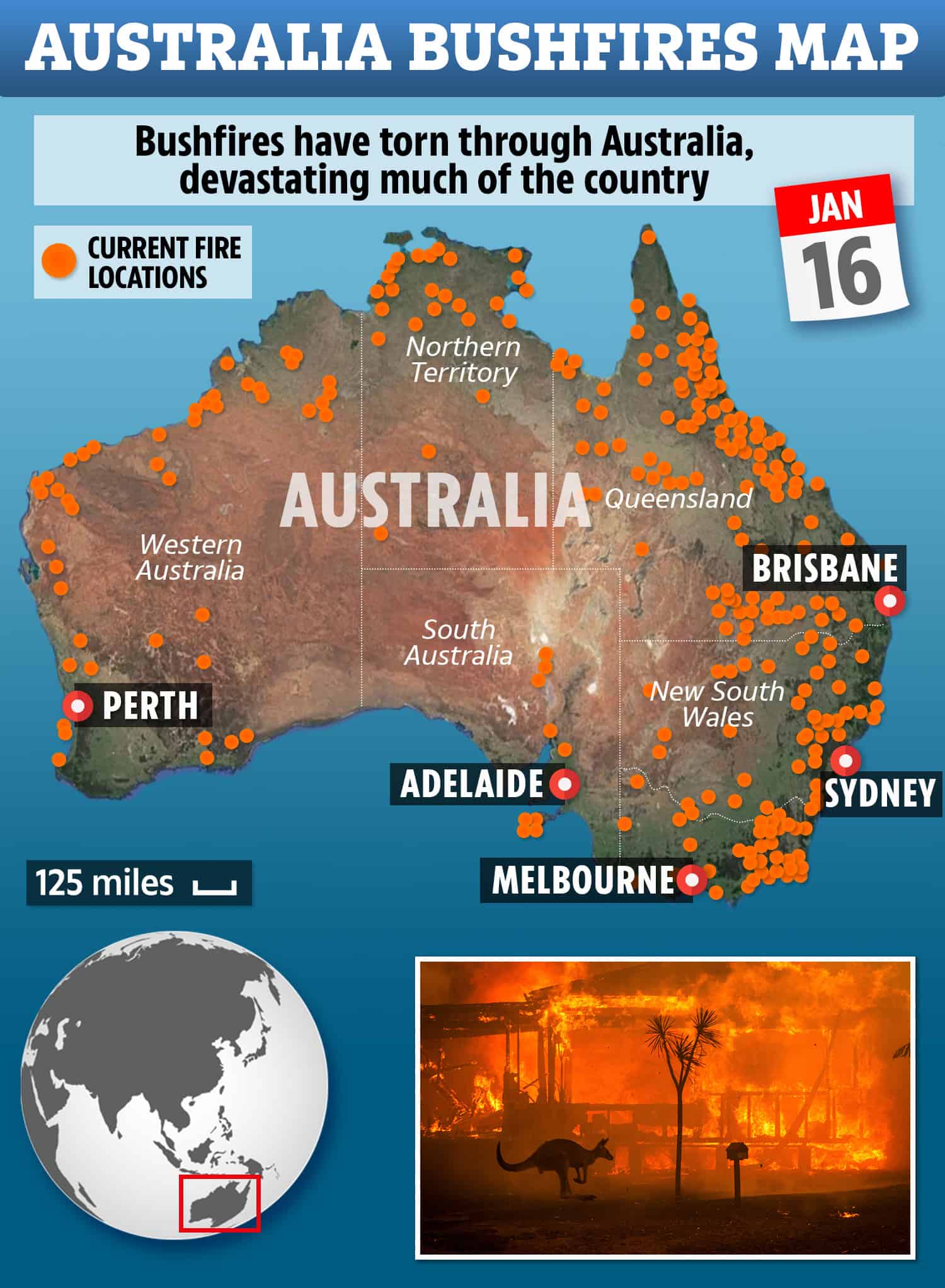
Wildfires are a natural force of the environment that can have tremendous impact on both living and non-living factors in the forest. Investigate how fire affects the plant, animal and human communities in Toolangi; discover how it can change entire landscapes in a short period of time; and complete a hands-on fieldwork data measurement activity to assess present bushfire hazard.
The 4 hour excursion includes a visit to a variety of forest ecosystems, where comparisons will be made between the Mountain Ash and Messmate Eucalypt Forests and a Cool Temperate Rainforest.
Inclusions and Notes
Equipment supplied by Gould League: Safety helmets worn by all participants; workbook and all tools required for fieldwork data collection.
Equipment needed: A chartered bus (which is required to remain with the group at all times). First aid kit, sun screen, insect repellent and PPE including hand sanitiser to ensure a Covid safe excursion.
Student needs to bring: Their own water and lunch, sunscreen, a clipboard, pencil, and a copy of the Gould League workbook (usually sent 14 days prior to excursion so copies can be made for students) to guide the forest investigation; bag to take away your rubbish.
Restrictions: This Gould League program is delivered in the Toolangi State Forest, in the North Central Fire District and does not operate on days with a Fire danger rating of Extreme and Catastrophic. On rare occasions, programs may be postponed due to extreme weather predictions involving wind/storms. In both cases, these programs will be rescheduled at the earliest convenience of both parties.
Programs however DO operate during wet/snowy weather. Please contact us to discuss the best timing to optimize your group’s experience and ensure suitable clothing and footwear for the conditions predicted. Plan for wet weather from April-October, and expect temperatures at least 5 degrees colder than suburban Melbourne.
Curriculum Links
GEOGRAPHY
Geographical Concepts and Skills: Data and Information
– Collect and record relevant geographical data and information from useful primary and secondary sources, using ethical protocols (VCGGC102)
Geographical Knowledge: Landforms and Landscapes
– Human causes of landscape degradation, the effects on landscape quality and the implications for places (VCGGK119)
– Causes of a geomorphological hazard and its impacts on places and human responses to it to minimise harmful effects on places in the future (VCGGK121)
The Victorian Curriculum F-10 content elements are © VCAA, reproduced by permission. Victorian Curriculum F-10 elements accurate at time of publication. The VCAA does not endorse or make any warranties regarding this resource. The Victorian Curriculum F-10 and related content can be accessed directly at the VCAA website.
