
Water in the World
-
Water Cycle
-
Water Testing
-
Human Impacts
-
Forests
-
Ecosystem Services
-
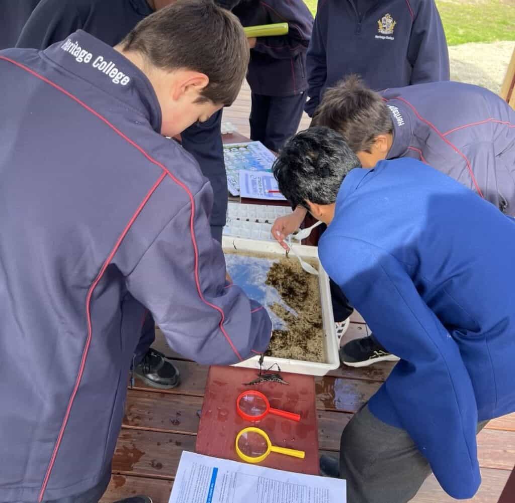
Aquatic Bugs


Watch this short video of program highlights.
Water is a vital resource. Water dissolves and transports nutrients in the soil making them available to plants and animals. It also dissolves and dilutes many wastes and toxins, is a raw material used in photosynthesis, and is a major factor in world climate and weather patterns.
- 71 per cent of the earth is covered in water
- 97 per cent of all the water on the earth is salt water, which is not suitable for drinking
- 3 per cent of the earth’s water is fresh water, but only 0.5 per cent is available for drinking (the other 2.5 per cent is locked in ice caps, glaciers and soil)
- Our usable water supply is finite. In other words, we do not have an endless supply of water.
- As Melburnians we’re great water savers, using 22 per cent less water than we did 10 years ago. But Victoria’s hotter and drier climate as well as a population that’s predicted to reach 10 million by 2051, means we all need to keep saving water and make every drop count.
During this field trip to Beaconsfield Flora and Fauna Reserve and Berwick Views Wetland, Level 7/8 students will:
- Learn about the water cycle
- Discover where water in Melbourne, Cardinia and Casey Shire comes from
- Investigate the importance of water to both the environment and people
- Explore the role that forests have in collecting, storing and filtering water
- Undertake important field work in the form of water testing
- Determine the health of wetlands via aquatic and terrestrial invertebrates analysis
- Understand the impact of humans and climate change on our water supply
- Discuss where water is used in urban environments and how schools and the community can save water
- Learn about the importance of wetlands
- Discover the impact of weeds on water
This excursion can be run over 3 or 4 hours. The 4 hour option allows for a 30 minute lunch break and extended activities to deepen the learning.
Notes and Inclusions
Equipment supplied by Gould League: Workbooks along with all tools and equipment required for activities including fieldwork data collection provided.
Equipment needed by the school: First aid kit, insect repellant, sun screen and PPE including hand sanitiser to kill viruses, bacteria and other micro organisations.
Students needs to bring: Their own snacks, water and lunch, sunscreen, a clipboard, pencil, and a copy of the Gould League workbook (usually sent 14 days prior to excursion so copies can be made for students); bag to take away your rubbish.
Restrictions/Limitations: This Gould League program does not operate on days with a Fire danger rating of Extreme or Catastrophic. On rare occasions, programs may be postponed due to extreme weather predictions involving wind/storms. In both cases, these programs will be rescheduled at the earliest convenience of both parties.
CURRICULUM LINKS
Geographical Knowledge and Understanding – Water in the World
The classification of water as a renewable resource, the forms that it takes as a resource in the water cycle, and the ways in which flows of water connect and change places VC2HG8K01
The environmental, economic, cultural, spiritual and aesthetic uses and value of water, including for Aboriginal and Torres Strait Islander Peoples and peoples of the Asia region VC2HG8K02
The distribution and variability of Australia’s water resources and the forecasted impacts of climate change on them VC2HG8K03
The nature of water scarcity and ways of overcoming it, with examples from Australia, and West Asia and/or North Africa VC2HG8K04
The causes of, impacts of and responses to an atmospheric or hydrometeorological hazard VC2HG8K05
Geographical Knowledge and Understanding Place and liveability
The influence of environmental quality on people’s perceptions of the liveability of places VC2HG8K08
The influence of social connectedness and community identity on people’s perceptions of the liveability of places, including the cultural connectedness of Aboriginal and Torres Strait Islander Peoples to Country and Place VC2HG8K09
How the concepts of space, environment and interconnection can be applied to evaluate the liveability of a place
VC2HG8K10
Responses to enhance the liveability of places at a local scale VC2HG8K11
Geographical Skills – Geographical Inquiry
Collect, organise and process information and data from primary and secondary sources, including fieldwork, and using geospatial technologies and digital tools as appropriate VC2HG8S02
Interpret and analyse information and data to identify similarities and differences and explain patterns, relationships and trends VC2HG8S04
Geographical Skills – Concluding and decision-making
Consider ethical values and draw evidence-based conclusions based on the evaluation of the information and data on a geographical phenomenon, issue or challenge using the concepts of space, change, interconnection and environment VC2HG8S05
Understanding Science – Biological Science
Matter and energy flow through ecosystems and can be represented using models, including food webs and food pyramids; populations will be affected by changing biotic and abiotic factors in an ecosystem including habitat loss, climate change, seasonal migration and introduction or removal of species VC2S8U04
Understanding Science – Earth and Space Science
Earth is a dynamic planet as demonstrated by tectonic activity, including the formation of geological features at divergent, convergent and transform plate boundaries; the theory of plate tectonics is supported by scientific evidence VC2S8U10
Science Inquiry – Processing, Modelling and Analysing
Data and information can be organised and processed by selecting and constructing representations including tables, graphs, keys, models and mathematical relationships VC2S8I04 (Students use dichotomous keys to classify and identify terrestrial and water invertebrates)
Information and processed data can be analysed to show patterns, trends and relationships, and to identify anomalies VC2S8I05
Science Inquiry – Evaluating
Evidence-based arguments can be constructed to support conclusions or evaluate claims, including consideration of ethical issues and protocols associated with using or citing secondary data or information VC2S8I07
The Victorian Curriculum F-10 content elements are © VCAA, reproduced by permission. Victorian Curriculum F-10 elements accurate at time of publication. The VCAA does not endorse or make any warranties regarding this resource. The Victorian Curriculum F-10 and related content can be accessed directly at the VCAA website.